
Aerial Mapping and Drone Services
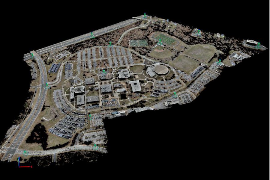
Precision's goal is to provide effective mapping solutions for our clients. Aerial surveys and imaging are exceptionally tools for acquiring mapping for design, construction, geographic information systems and asset management. Precision is fully capable of a performing a wide variety of mapping related services and uses a variety of software and tools to map your project. The approach is largely dependent on the terrain that is being mapped and can determine whether we use standard photgrammetry, LiDAR or both to develop appropriate mapping for a specific project.
While there are many services suggesting they can map accurately, we are licensed surveyors that have developed a system and protocol that has been benchmarked against the data recovered from actual field-run surveys.
We understand the expectations of our clients and can assist you in providing the base mapping required for your project.
Aerial Mapping and Photogrammetric Services:
- LiDAR Terrain
- Topographic
- Planimetric
- Volumetric
- Digital Terrain
- GIS/LIS Data Input
- Analytical Aerotriangulation
- Cross Sections
- Profiles
- Image Scanning
- Digital Orthophotography
- Low Altitude Mapping
- Digital Imaging
- Digital Mosaic Imagery
- LiDAR/Digital Terrain
ORDER YOUR AERIAL SURVEY TODAY!
Just give us a call at 410-459-2124 (toll-free) or send us a message at info@precisionsurveys.us. Estimates are free and we don't mind talking you through the process!
Questions?
We look forward to talking with you about your project.
Portfolio
Take a look at our recently completed projects to get a better idea of our capabilities and performance quality.